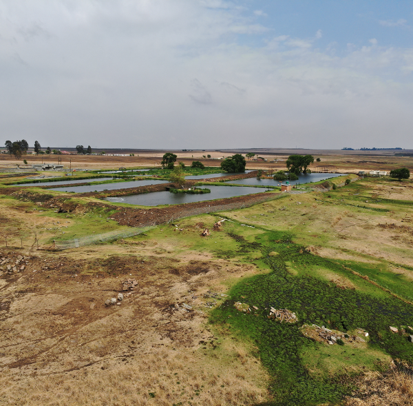
We generate high-resolution aerial maps, monitor stockpiles, and perform terrain analysis. If there’s a hill, hole, or heap that needs measuring—we’ve got you covered with a bird’s-eye view and a bot’s precision.
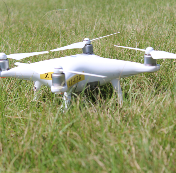
Drone Eye Technology (Pty) Ltd is a 100% Black-owned South African company founded in 2019 and headquartered in Westville North, KwaZulu-Natal. We specialize in high-impact drone solutions that enhance security, surveillance, inspection, mapping, and infrastructure monitoring across private, commercial, and governmental sectors.
Dawncrest Hill, Westville North, KwaZulu-Natal, 3629